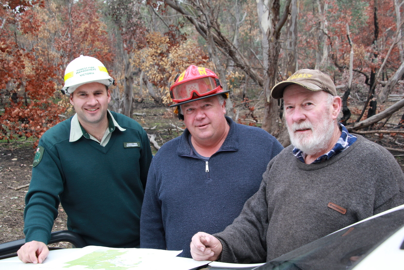
About this region
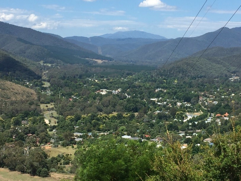
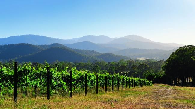
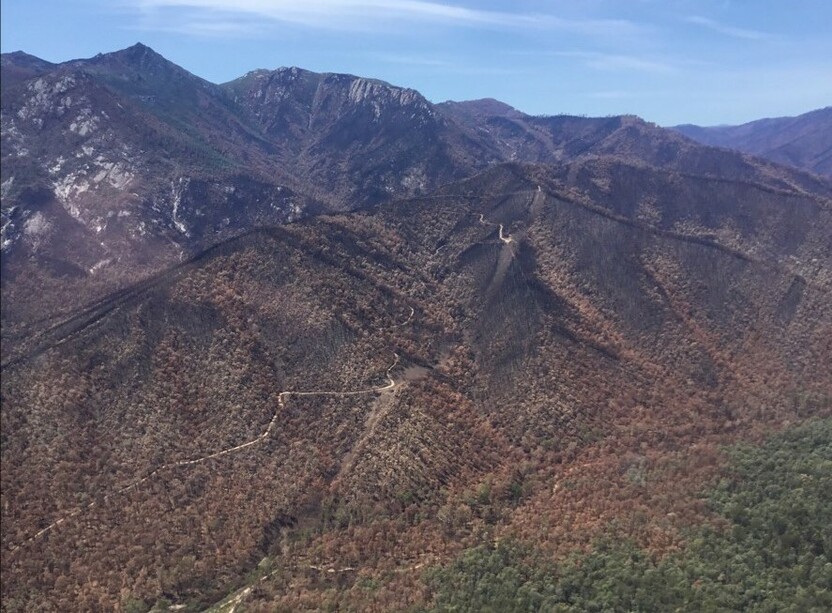
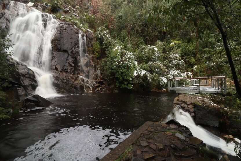
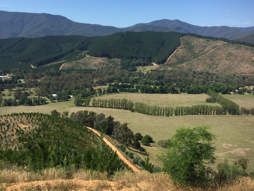
The landscape in the Hume region varies greatly, from the mountainous areas of the Great Dividing Range in the east and south, to the riverine plains in the north west. The highest peak in Victoria, Mt Bogong (1,986m above sea level), is found in Hume.
How Victoria manages bushfire risk
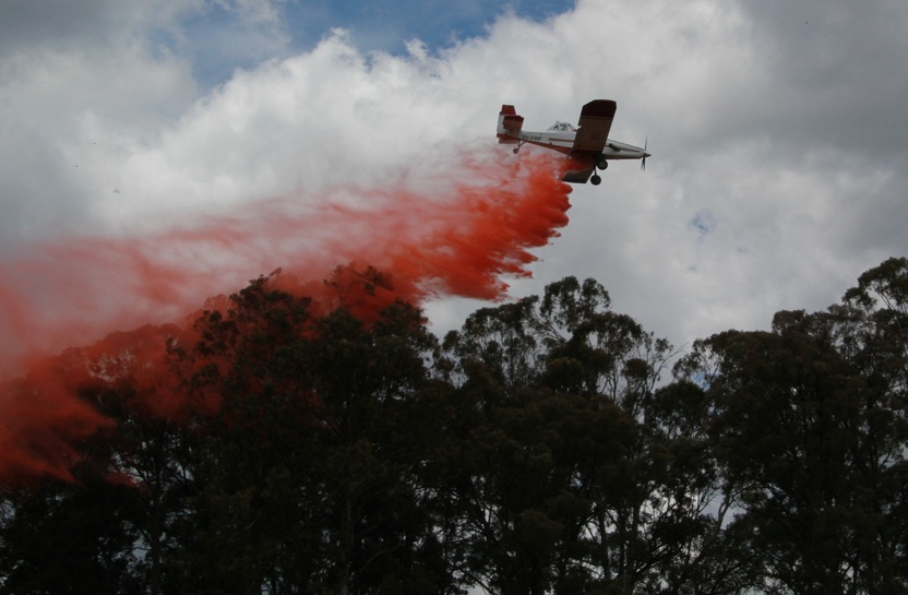
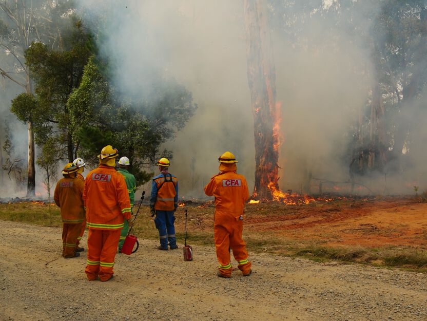
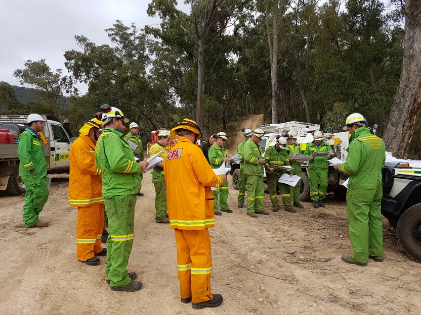
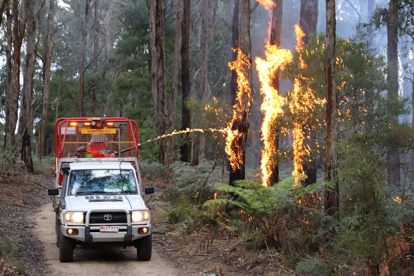
In Victoria, we conduct fuel management activities like planned burning, mulching and slashing to reduce the risk of bushfires causing harm to things we care about. We also conduct planned burning to support plants and animals that need fire for their survival.
On this page
Identifying what we care about
Ultimately, we manage bushfire risk to protect the things we care about.
Our bushfire management planning across the state seeks to protect human life, private property, our economy, critical infrastructure, cultural heritage and the environment.
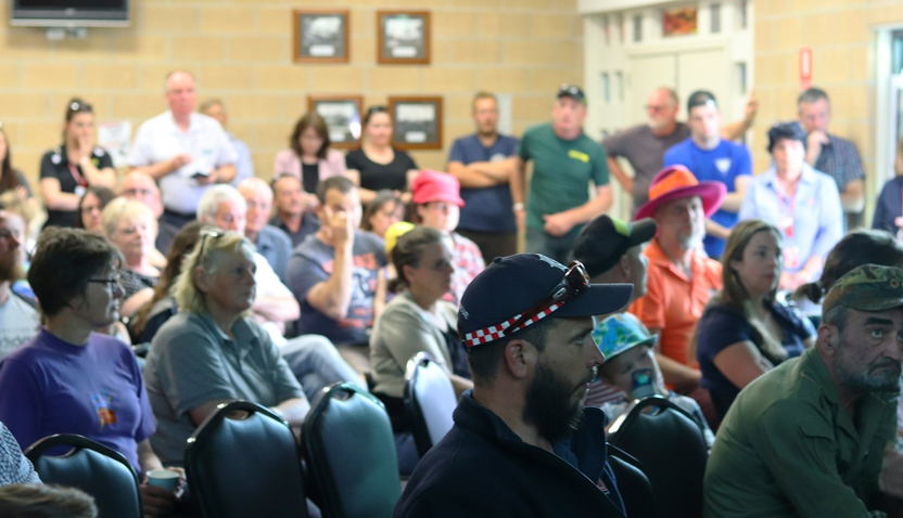
Here in the Hume region, we have worked with local communities and consulted scientific data and experts to understand where the most important values and assets are in our region and how to protect them from bushfire.
Here's some examples of the different values and assets we considered in our fuel management planning.
Human life
Protection of human life and property from bushfire is our highest priority.
The Hume region is home to more than 320,000 people. Our population is spread across the diverse landscape, centred around main townships and rural centres along the major road routes.
Private property includes homes, agricultural assets and local business assets, such as shops and offices.
Protecting property helps reduce household loss from bushfire. This reduces displacement and disruption to our communities.
Natural environment
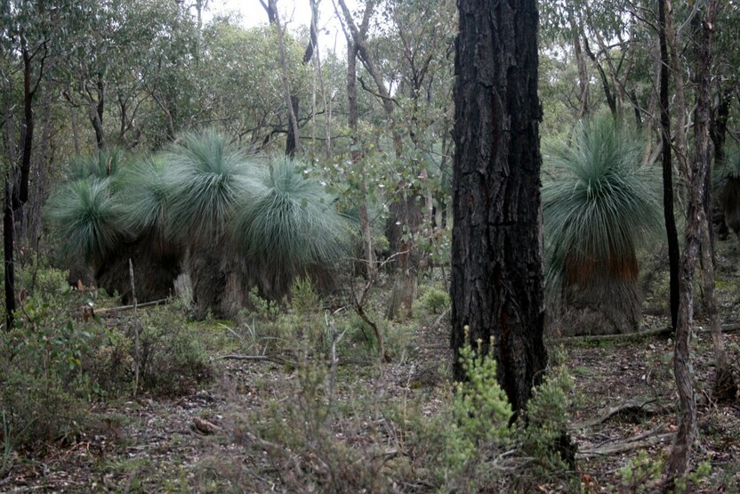
Protecting our natural environment is important to both residents and visitors in the Hume region. Hume's natural environment is incredibly diverse, ranging from floodplains and grasslands, to undulating foothill forests, wet montane forest, alpine woodlands and meadows.
Public land provides important habitat for many species, and ensures it is cared for for generations to come. Habitat also exists on private land.

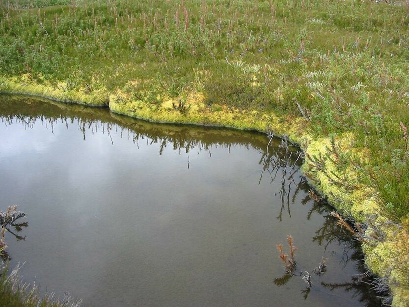
The region is also home to many state and nationally listed threatened species, such as the Mountain Pygmy Possum
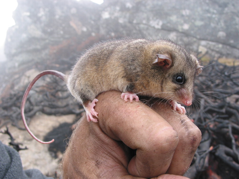
The endangered Mountain Pygmy Possum live in boulder fields and shrubs above 1200m elevations in the Bogong High Plains which are vulnerable to fire and other threats like predators - Glen Johnson
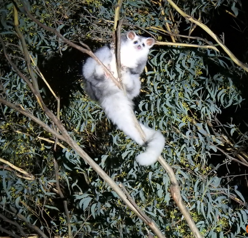
Greater Gliders and other threatened species use tree hollows which are vulnerable to fire - Steve Smith
For some animals, fire helps revive the plants they rely on. For others, fire can damage their habitat and food supply.
We carefully balance our fuel management actions to maintain healthy habitats for native plants and animals. We also monitor the impacts of bushfire and our actions on the natural environment.
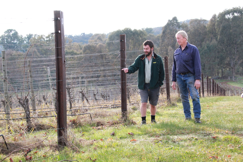
Regional economy
Hume supports a thriving tourism industry centred around the river valleys and alpine resorts. These areas attract over 2.5 million visitors every year, with key peaks in summer.
Tourism, along with agriculture, forestry, apiary and viticulture, are major employers of residents in the Hume region.
The impacts of bushfires, such as road closures and smoke, can negatively impact these industries. We target our bushfire management actions to reduce these impacts.
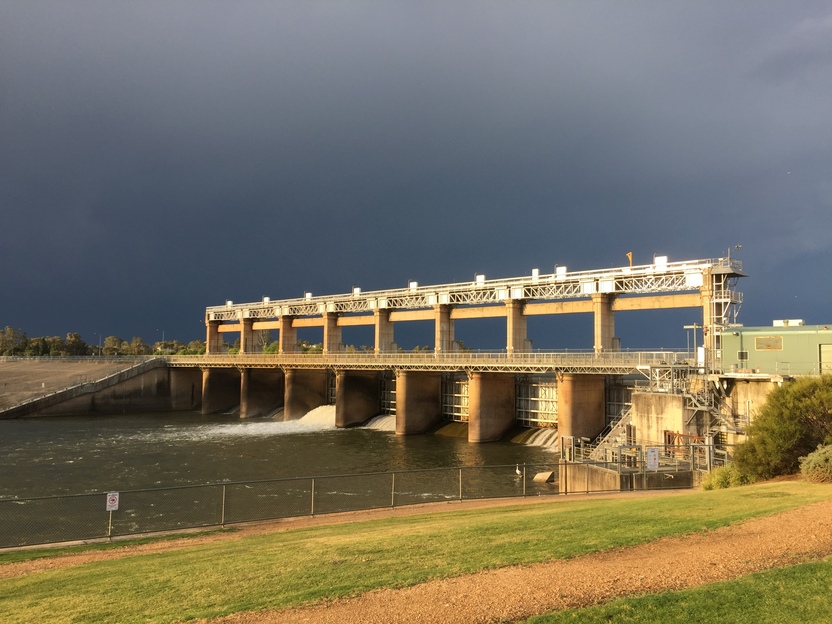
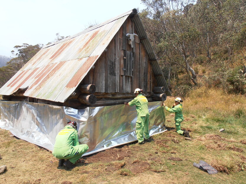
Critical infrastructure
Critical infrastructure in the Hume region includes important road and rail links between Melbourne and Sydney that pass through the region, as well as powerlines and stations and communications infrastructure like internet, mobile, radio and aircraft towers.
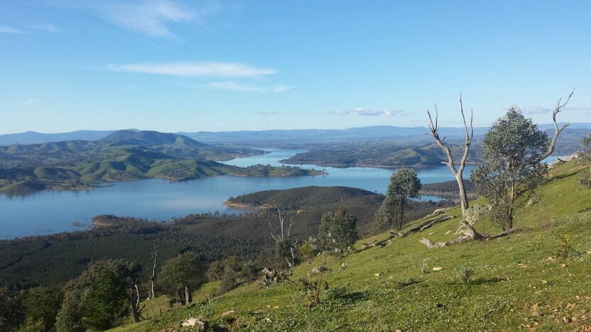
Nationally important water catchments feed the Murray Darling Basin, agriculture and tourism industries.
Protecting critical infrastructure from bushfire helps to ensure our regional economies can function and that people have access to essential services.
 Cultural heritage
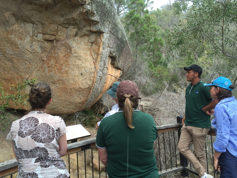
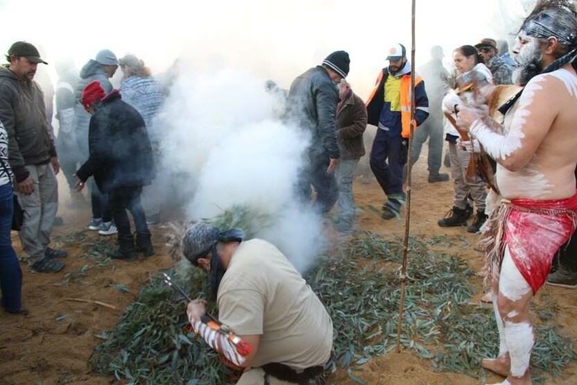
Aboriginal cultural heritage belongs to Aboriginal people. We work with Registered Aboriginal Parties and recognise Aboriginal cultural heritage as a living culture that is intrinsic to the well-being of Aboriginal people. The significance of individual places is derived from interrelatedness within the cultural landscape.
Hume's landscape holds the imprint of thousands of generations of Aboriginal people, with the physical evidence surviving as cultural heritage places and objects.
Underpinning these material aspects of this heritage are intangible places where no physical evidence may remain, such as significant spiritual or ceremonial places, or sources of traditional resources, trade and travel routes.
These places can be sensitive to fire, and along with other non-indigenous heritage, it is important to protect them from bushfire.
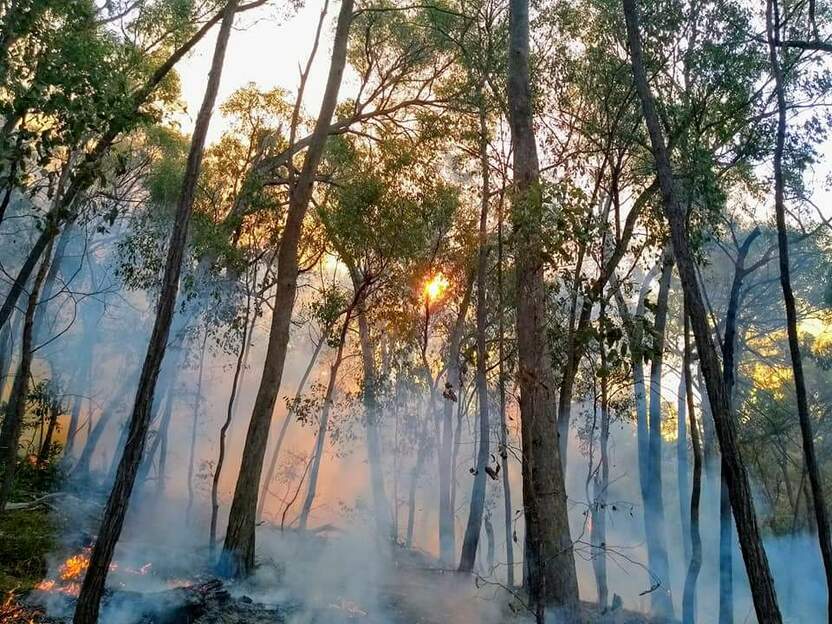
Our bushfire history
This section contains information regarding past bushfires which some readers may find upsetting. Click to skip ahead to bushfire risk in our region or our fuel management strategy.
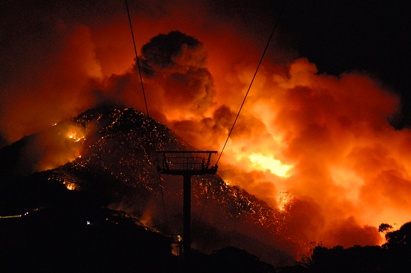
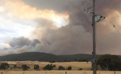
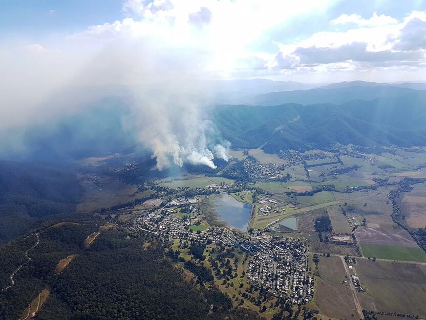
Hume has a long history of large and devasting bushfires.
In 1939, Black Friday fires burnt 1.2 million hectares, and in the last 20 years, the region has seen numerous severe bushfires impacting over 1.3 million hectares in the region.
The impacts of these fires on communities, environment, infrastructure and local economies are often widespread and long lasting.
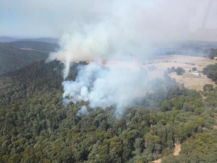
Fires in Hume are generally characterised as fast-moving wind driven grassfires on the plains, or slower moving more intense and complex forest fires in the hills.
Black Saturday
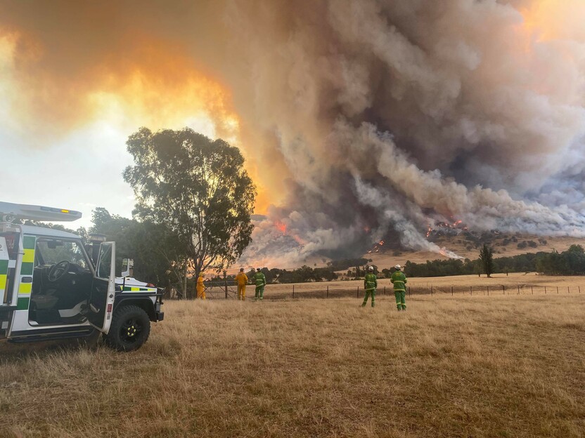
On Black Saturday in 2009, devasting fires were driven by strong north to north-westerly winds followed by west to south-westerly wind changes.
That day the Kilmore East, Murrindindi and Beechworth fires claimed 161 lives, destroyed over 2,000 homes and burnt over 247,000 hectares in the Hume region.
Barnawartha Grassfire
In 2015, a grassfire in Barnawartha ignited by an electrical fault spread quickly down the Indigo Valley under a north-westerly wind and into the foothills and forest.
It destroyed three homes and burnt over 7,000 hectares. Unexpected rain with the wind change reduced the fire threat.
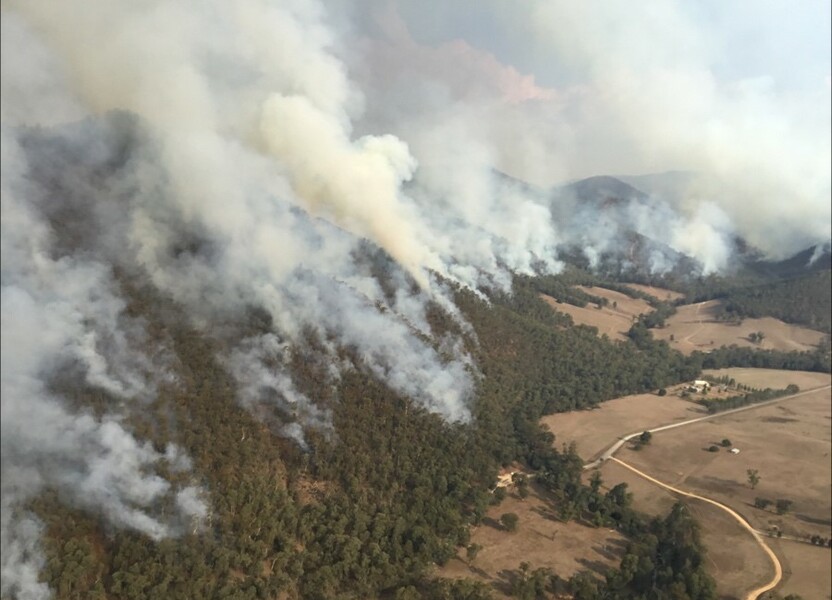
Alpine forest fires
Dry lightning storms in summer start many fires, which in alpine areas can result in large scale bushfires like those experienced in the Black Summer fires of 2019/20, which burnt over 320,000 hectares.
Other large-scale events in 2003, and 2006/07 collectively burnt over 950,000 hectares.
Bushfire risk in our region
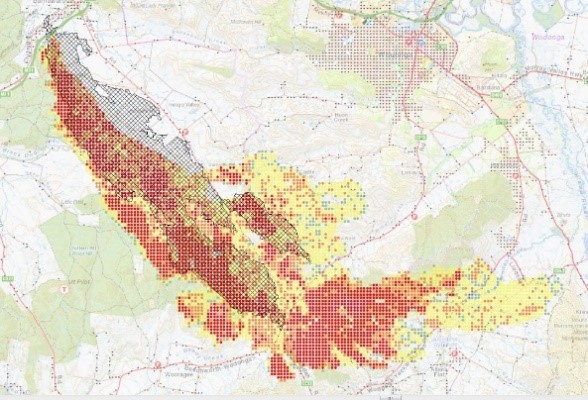
This map shows the risk of house loss in the Hume region. It compares where houses could be destroyed by bushfire across the region.
Different shades represent different levels of risk. As the shades progress from yellow through red to purple, more and more houses are potentially destroyed.
The purple areas have the highest risk of house loss. More houses could potentially be destroyed by bushfire in these areas than in any other areas in this region.
Computer simulations are used to help us estimate houses lost from bushfires. The simulations measure how damaging bushfires could be in different locations. They assume that the fuels in the landscape have increased to the highest level.
This helps us plan where, how often and how much fuel management we do to reduce risks to communities over years, or even decades.
This map does not reflect any recent bushfires or activities that could change the risk in the region. Importantly, this map shows where there is potential for a bushfire to destroy more houses compared to other parts of the region. It does not show risk to individual houses.
Higher risk area - Tolmie
We consider Tolmie a high bushfire risk township. Tolmie is surrounded by hilly forest and although the area was impacted by the 2006/07 fires, the undergrowth has recovered strongly. Fire history and prediction modelling tells us that fires reaching Tolmie may cause many house losses, particularly fires travelling from the north and west where our most devasting fires travel from.
Lower risk area - Benalla
In contrast, Benalla is surrounded mostly by grass, not forest. While grass fuels burn quickly, house loss from grass fires is less likely than for forest fires. Grass fires are not as hot and cause less embers. Fire history and prediction modelling tells us Benalla would experience less house losses.
Our fuel management strategy
By understanding what communities care about, where bushfires have happened before and analysing what areas in the Hume region are most at risk, we can create a strategy. This strategy tells agencies where, how much and how often to conduct fuel management activities to reduce bushfire risk.
We classify patches of public land as different Fire Management Zones - Asset Protection Zones,
Bushfire Moderation Zones,
Landscape Management Zones
and Planned Burning Exclusion Zones.
In each of these zones we manage fuels differently in terms of the frequency and intensity of fuel management activities like planned burning.
Where we conduct fuel management each year is determined by a range of factors, including fuel loads and weather conditions, such as rainfall.
'Fuel' is any grass, leaf litter, twigs, bark and other live vegetation which can burn. Fuel builds up at different rates in different areas depending on how fast the vegetation grows compared to how fast it decomposes.
The way we conduct fuel management in the different types of Fire Management Zones on public land helps us to reduce the intensity, severity and spread of bushfires across the landscape. This contributes to reducing the risk of bushfires impacting things we care about.
We monitor the success of our fuel management program and publish the results in our yearly Fuel Management Report.
Jamieson
We’ve placed Asset Protection Zones in areas around the township of Jamieson. Here, we frequently conduct fuel management activities to reduce understorey fuels. This provides greater protection from radiant heat and embers from bushfire, as well as allowing safer access for firefighters.
To the west of Jamieson and along the Goulburn River, planned burns in Bushfire Moderation Zones help to slow the passage of a bushfire into the valley and township.
Landscape Management Zone areas help protect our highest value environmental values to maintain their resilience to the threat of repeated fires.
For example, protecting older growth forest is important for habitat for the Greater Glider and Powerful Owl.
In these zones, we conduct planned burning less frequently to protect these environmental values.
Where possible we also exclude fire sensitive areas and values from planned burning in Planned Burn Exclusion Zones, such as areas where there is important streamside habitat for the Spotted Tree Frog.
The river valleys
Along the foothill forests of the river valleys we've placed Bushfire Moderation Zones. Here, we reduce fuels in the forest understorey to help protect farms and townships in these areas, while carefully considering important forest ecosystems.
The river valleys often come under threat from large-scale bushfires. Managing fuel in Bushfire Moderation Zones on the boundary with private land helps to reduce the potential impacts of these fires.
Sometimes it can be challenging to conduct planned burns in these areas, but it is a good opportunity for land holders and fire agencies to work together in reducing bushfire risk.
Forest Fire Management Victoria work closely with the CFA, local government authorities and landholders to cross borders and fences to gain the best fire risk reductions we can in these areas.
Bogong High Plains and Alpine Peatlands
The alpine vegetation in the high country provides important habitat for reptiles, amphibians, fish and mammals, such as the Mountain Pygmy Possum. Some of these species are only found in specific areas, like Alpine Peatlands.
The Bogong High Plains has large tracts of alpine vegetation and peatlands that can take a very long time to recover from fire. Protecting these areas is important for protecting native species, as well as the health of our water catchments.
We’ve placed Planned Burn Exclusion Zones in these areas. In these zones, we do not conduct any fuel management activities.
To ensure intense bushfires don't spread into these sensitive areas, we conduct fuel management in surrounding Bushfire Moderation Zones and Landscape Management Zones.
By conducting fuel management in these zones, we can also reduce the risk of bushfires impacting on alpine resorts, communities and infrastructure.
Bushfire Risk Engagement Areas (BREAs)
To protect the things we care about, agencies and communities need to consider ways of reducing bushfire risk across both public and private land.
On public land, our fuel management activities are undertaken across different Fire Management Zones.
To support bushfire risk reduction on private land, we've identified Bushfire Risk Engagement Areas.
Bushfire Risk Engagement Areas in Hume cover both public and private land and help fire agencies
to prioritise engagement with the community about managing fuels where it can be most effective.
This includes considering a range of actions to reduce bushfire risk.
Where and how we engage with the community will also be informed by current conditions, such as fuel loads and rainfall.
Managing fuels on private and public land begins with a conversation about the benefits and limitations of fuel reduction to meet the needs of our local community and environment.
There is no new legal obligation for landowners within Bushfire Risk Engagement Areas to reduce bushfire fuels on their property.
By working together, land and agencies and communities will be able to better protect the things we value from being impacted by bushfire.
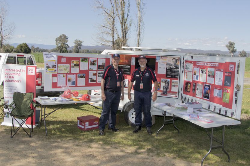
For more information or to get involved in fuel management activities on private land, contact your local CFA District.
Yackandandah
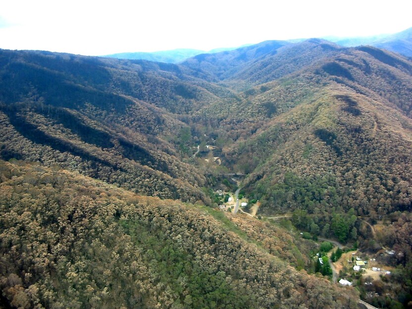
We identified that the native forest areas to the west of Yackandandah posed a bushfire threat to community and property, with very high fuel hazard and stringybark eucalypts. FFMVic began planning a burn in the local area, however recognised that that bushfire risk would be more effectively reduced if fuel reduction occurred in private forest areas as well as the State Forest area.
A joint community meeting was hosted by FFMVic, CFA and the Indigo Shire to discuss the issue and gauge community interest and concern for a larger planned burn and associated fire access track works. With the community’s support, ten neighbouring landowners worked closely with the planning team to identify native forest areas on their properties to include in the burn area.
The track network was improved and extended, providing easier access for emergency vehicles. The 232 hectare Yackandandah cross-tenure burn was conducted by CFA and FFMVic in April 2018 and has provided increased protection to the community in the event of future bushfires.
Tiger Hill Road
In some instances mowing, slashing, and other fuel management are undertaken in preference to planning burning.
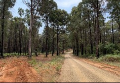
This might be close to houses and other assets, along roadsides, or where vegetation can’t easily be burnt like wetter forest. An example of this is in Goulburn Fire District where a mechanical fire break was completed along Tiger Hill Road in the Toombullup State Forest during 2019/20.
Tiger Hill Road is a key fire access road for both FFMVIC and HV Plantations (HVP) crews during fire events. It is also used for day to day FFMVIC works and sometimes as a HVP haulage road.
The break was originally constructed during the 2006-2007 Tatong fire, however it hadn’t been managed as a fire break over subsequent years. In 2019/20 the 2.4km long by 20m wide fire break was completed. The fire break also now joins to an existing break managed by HV Plantations to the south, and there is potential to further extend the break north in coming years, which will further improve fire access in the area.
This concludes our Hume region strategy. You can find out more information by downloading the full Bushfire Management Strategy.
Return to the state view to explore other regional strategies.